What we do
We make multi layer wooden maps. Each map is created from scratch. We design the map using QGIS software and various opendata, then export and cut each layer on a laser cutter. Each layer is then hand finished and painted, before final assembled.
Any Geography
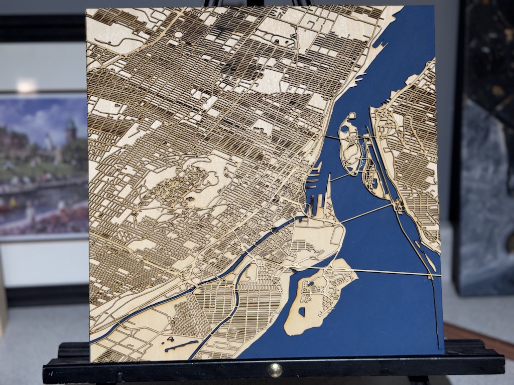
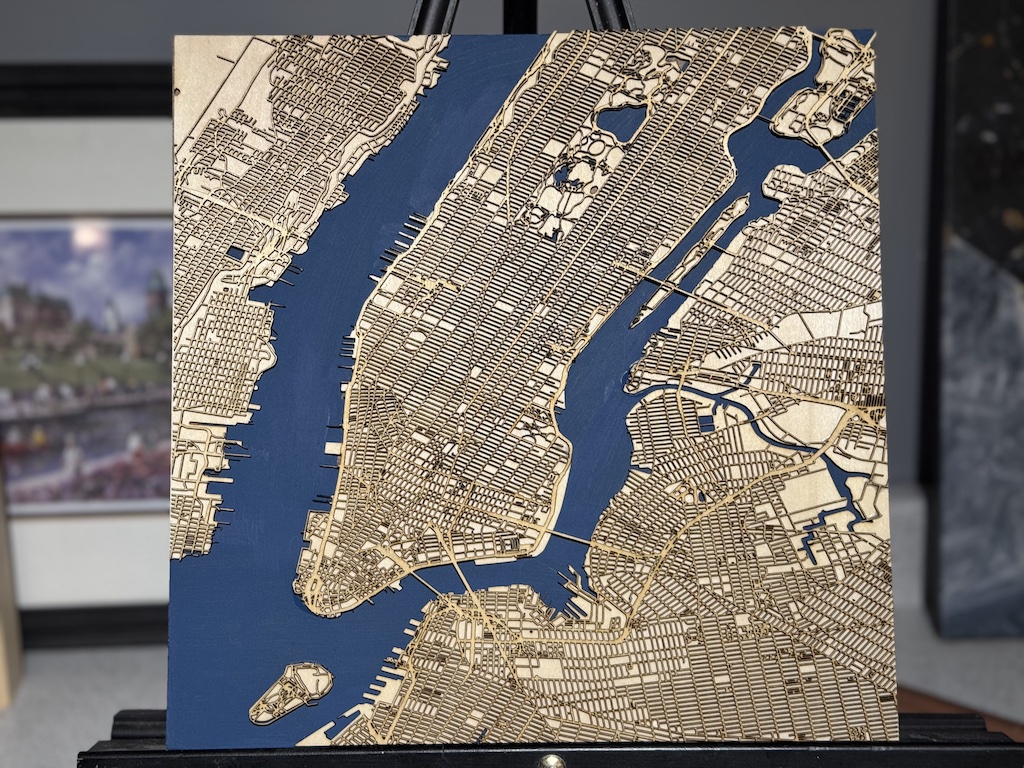
We can map virtually any geography - Major city, small town, lakes Rivers
Any Size
our smallest map so far is 5x7", the largest so far is 24x24", while we cant go much smaller, we certainly can go bigger.
Any Style
we can syle our maps to fit your decor. form leving materials all natural, to just painting waterways, or staining the whole thing, we can do it.
Framing Available
we can build a simple custom frame for your map.
This is probably one of the coolest things I've seen in a while
Wow this is awesome!
Looks great, keep up the good work!
That looks amazing!!!!! Nice Detail!!!!!
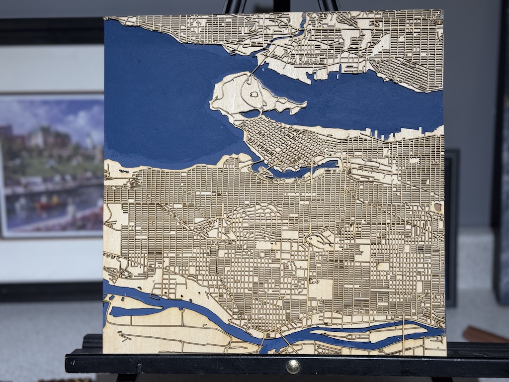
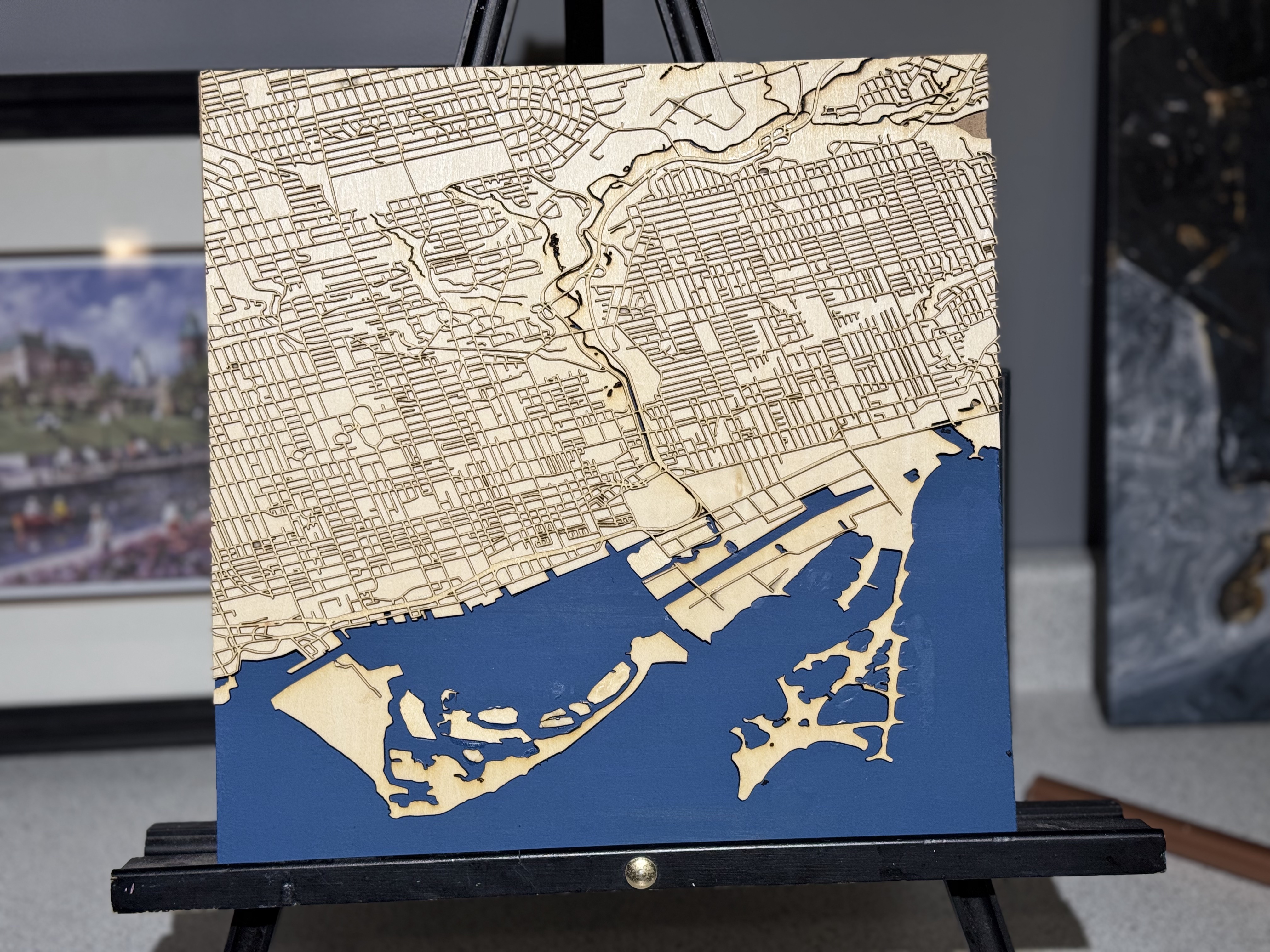
Process
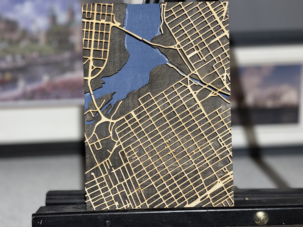
Understand the Data
We dont simply take data and throw it togeather to create your map.
our process calls on years of experiance making maps, and we take the time to understand the data we use, so we can optomise it for best layer creation. On our street maps, we go to great pains to remove alleyways and other minor roads that would otherwise clutter the map
The video below takes you behind the sceens to show how we created the Toronto Street map.
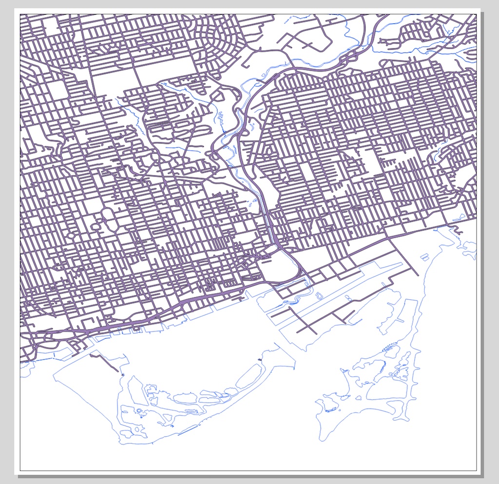
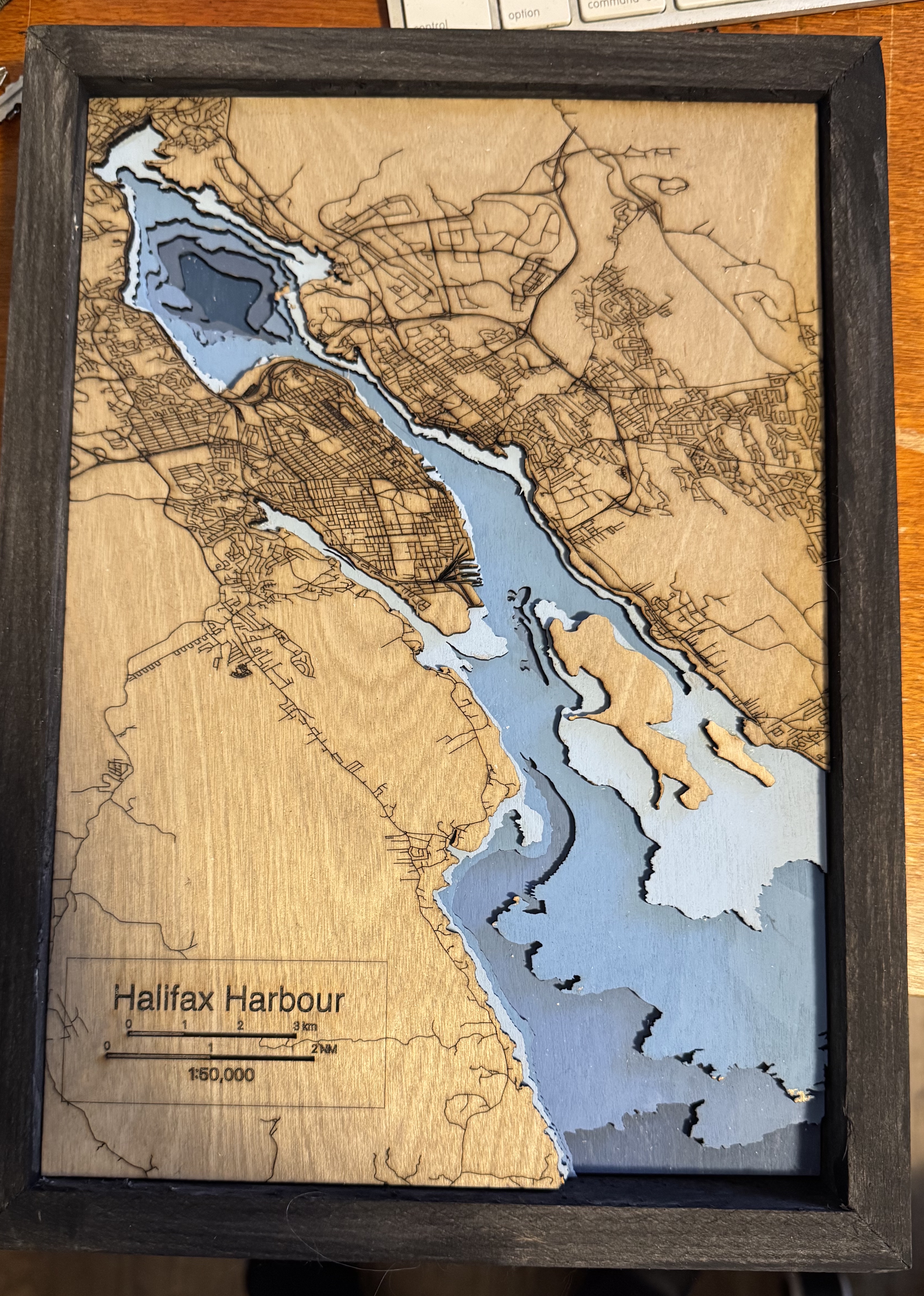
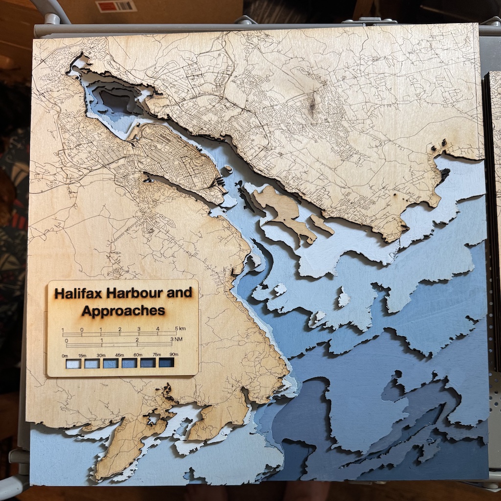
Bathymetry
The map that Started it all
The fulfilment of a quest ot map the harbour artfully, the first Bathymetry map depicted the harbour with a 15m depth contour, resulting in a total of 6 layers, cut from 1/8" birch plywood. We have since refined the design to create this stunning piece - Our best seller.